
Event
Presenter: Chris Quattro, PhD candidate, City and Regional Planning
Discussant: Akira Drake Rodriguez, Assistant Professor, City and Regional Planning
Link to join: https://upenn.zoom.us/j/97158617795
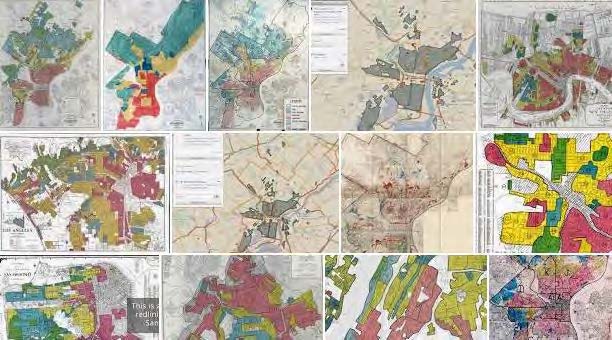
In recent years, interdisciplinary investigations on the lasting impacts of both the HOLC (Homeowner’s Loan Corporation) maps of the 1930s and zoning regulation have risen in significance and number. Academics across fields have turned their attention to the historic HOLC maps - termed “redlining maps” - and asked questions regarding its relationship to the modern distribution of important characteristics of US
cities. Similarly, questions regarding the efficacy and longevity of zoning, also largely adopted in the 1920s and 1930s, have percolated many fields. Chris’s research joins these two important conversations by using quantitative measurements to extrapolate on the relationship between HOLC grades and modern Euclidean zoning and social demographics with supporting qualitative research to better understand the historical context of their relationship. The longevity of zoning designations and their relationships to HOLC grades nearly 100 years later may
continue to inform the questions regarding the long-term impacts of both redlining and zoning and the future for comprehensive planning and land development regulation decisions as planners consider equitable solutions to longstanding concerns.